01
Drone piloting
Safe flying, pre-flight checks and the rules of operating a drone.
Ready-to-run drone labs for agri-engineering programmes: drones, simulators, field missions and teaching material in one package.
Students mark the field boundary, then set the flight lines, height and how much each photo overlaps the next.
The drone flies every line on its own and photographs the ground below, frame after overlapping frame.
Software joins every photo into one accurate map of the whole farm, ready to measure.
The same photos give a 3D model of the land, showing slopes, drainage and low spots where water collects.
Colour shows which plots are thriving and which need attention, so decisions start from data, not guesswork.
central support, up to ₹10 lakh per drone, for agricultural drones bought by State Agricultural Universities, ICAR institutes and Krishi Vigyan Kendras.
Kisan Drone demonstrations held on farmers' fields from 2023-24 to 2025-26, covering 40,918 hectares.
agricultural drones handed to women's self-help groups as "Drone Didis", as of January 2026.
Safe flying, pre-flight checks and the rules of operating a drone.

How the airframe works, and building your own parts and solutions.

Writing algorithms and automated flight routines.

Field condition, land surveys, crops, fertiliser application and irrigation.

Orthophotos, digital terrain models and maps of farmland.

Turning what the drone collected into answers to real farm questions.
A clear route for students, from a first flight to a job in the sector.
Students get to know drone technology, digital tools and engineering thinking through practical classes.
Skills carry into work on agri-engineering, unmanned systems, robotics, mapping and data analysis.
Students apply what they learned to real cases and build a body of work.
Graduates move into roles across the sector, including:
One connected system, so drones, software and lessons line up.
Beyond the lab kit, your department can add the same class of aircraft used for real survey work: fixed-wing mappers, a multirotor platform with four interchangeable payloads, and a multispectral camera for crop health.
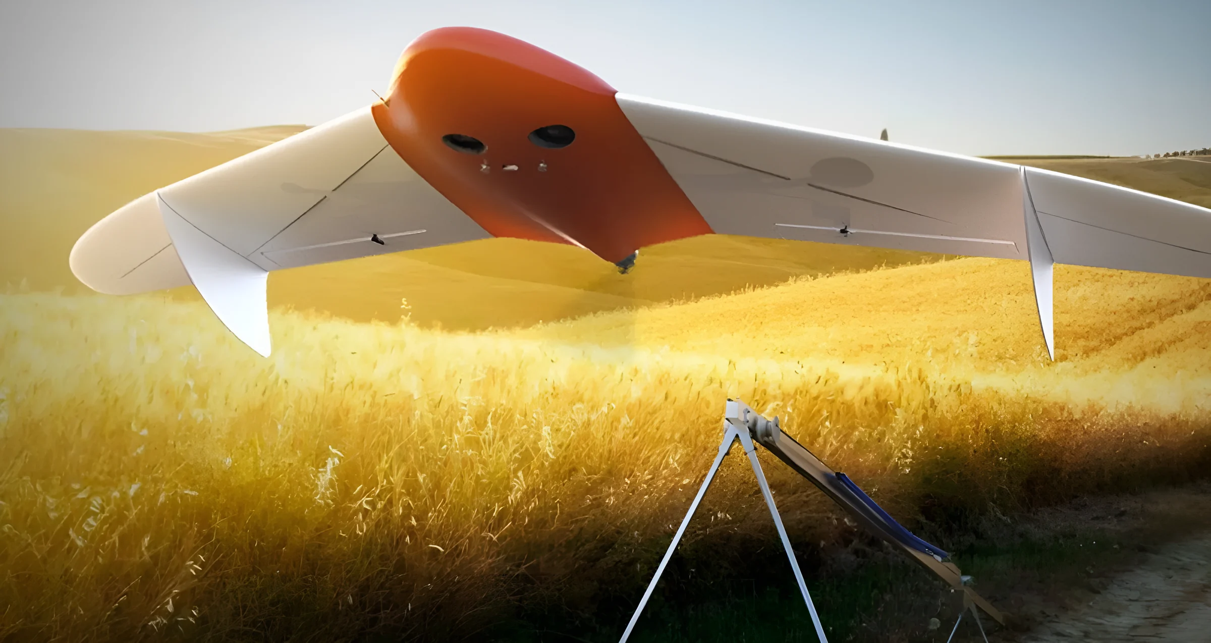
Wings give fixed-wing drones far more flight time than multirotors, so they map large farms and whole research stations in a single flight.
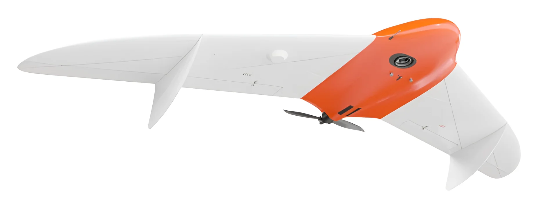
A flying-wing surveyor for large areas. The satellite-positioning receiver records the exact position of each photo, giving survey-grade maps of farmland, research plots and watersheds.
The same multirotor carries different sensors, so students learn how the choice of payload changes what a survey can see.
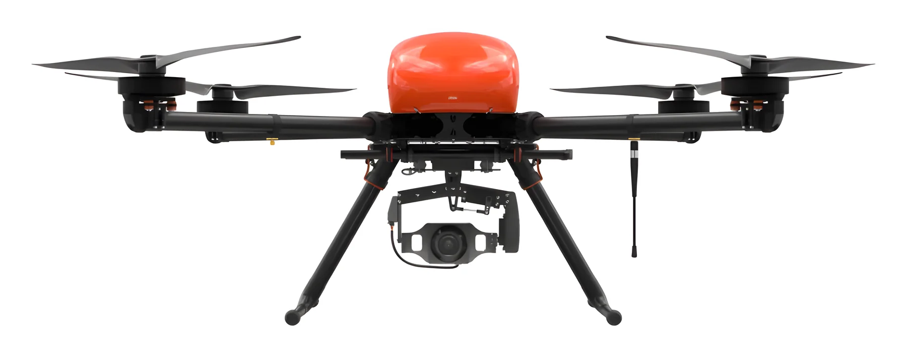
A satellite-positioning receiver ties every photo to precise coordinates, and the upgraded photogrammetric camera captures the overlapping images that become orthophotos and elevation models.
Use it in agriculture for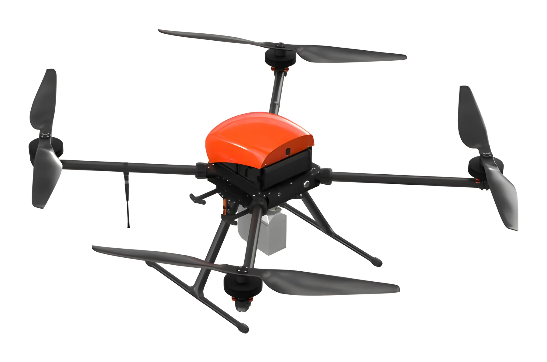
Lidar measures distance with laser pulses, so it can map the ground surface even where crops or trees hide it from a camera, and record the height and structure of the vegetation itself.
Use it in agriculture for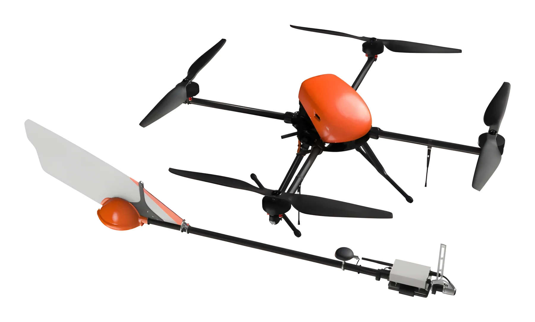
A quantum magnetometer, towed below the drone, records small changes in the magnetic field, which reveal what lies beneath the ground. The camera maps the surface on the same flight.
Use it in agriculture for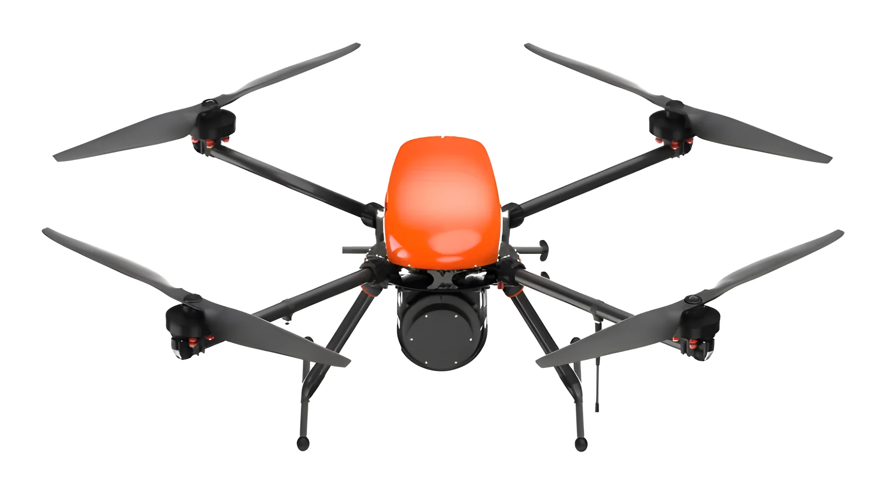
Soils give off natural gamma radiation that varies with their minerals. Airborne gamma surveys are a recognised method in soil science for mapping soil types and texture across a whole farm.
Use it in agriculture forThe sensor behind every crop-health map.
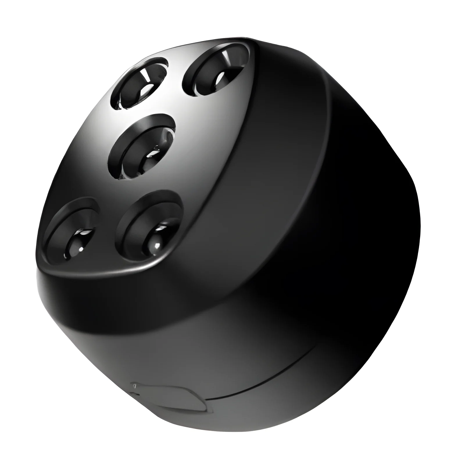
Records light in several separate spectral bands, including near-infrared that the eye cannot see. Healthy and stressed plants reflect these bands differently, which is how crop-health indices such as NDVI are calculated.
All field equipment is priced on request. Tell us which aircraft and payloads interest your department, and we will include them in your proposal.
Ask for a quoteWe match the kit to your infrastructure, student numbers, class format and goals.
Equipment, software and teaching material arrive ready to work together.
Your teaching staff learn the equipment and software before classes begin.
You start teaching, with our faculty community and ongoing support behind you.
Lesson plans and practical exercises, ready to use.
Structured training on the equipment and software.
Technical and teaching help in English and Hindi.
Hardware, software and teaching material designed to work together.
Start in a netted arena, then take the same skills into the field.
Students assemble and repair drones themselves.
Compass IPS-1 lets several drones fly together indoors, the technology behind our drone shows.
Training for your teaching staff and help when you need it.
Education, drone shows and survey services under one roof, so lessons reflect real work.
Training starts in the simulator, where crashes cost nothing. Students practise pre-flight checks and safe landings there before they fly a real drone.
The kit supports many formats, from races and competitions to research projects and programming, so you can set tasks for every level.
You get teaching material and worked cases for bringing drones into lectures, projects and field work.
You get access to a community of faculty and direct support from the Polaris education team.

Tell us about your department and students, and we'll send a proposal.